A Job Estimating App for Outdoor Work - Scan the Site, Answer a Few Questions, Quote the Job
Landscapers, tree care crews and small contractors quote jobs from a tape measure and a guess. Laan Labs built a job estimating app on its mobile 3D scanning pipeline: LiDAR measurement of the work, guided questions for what a scan cannot see, and an estimating model that turns both into hours, materials and a quote.

Business Challenge
Outdoor work is quoted on experience. A landscaper walks a yard, paces out a bed, eyes a slope, runs a tape across a stump and names a number. Veterans get close; new operators and growing crews do not, and everyone is caught out by what they could not see from the driveway: a hardwood that grinds like concrete, roots that run eight feet from the trunk, a gate half an inch too narrow for the machine, a gas line at four inches when the plan said eighteen.
The cost shows up as inconsistent bids, lost jobs, callbacks over "you said six inches but I wanted twelve", and evenings spent at a kitchen table turning site notes into an estimate. For the small businesses that make up most of the trade, estimating is both the sales process and the biggest source of unprofitable work.
Laan Labs had already put a volume measurement tool into the hands of contractors who were scanning piles of gravel and fill with their phones. The same people were asking a bigger question: not just how much is there, but how long will the job take and what should I quote? That question became an app.
Measure what can be measured, ask about what cannot, and show the operator which is which. That principle shaped every screen of the app.
What Laan Labs Built
A job estimating and planning app for iPhone and iPad, built on Laan Labs' own mobile 3D scanning pipeline. The operator scans the work area, marks the tasks on the 3D model, answers a short set of guided questions, and gets an estimate of hours, materials and crew, with a report ready to send to the customer. The app is not in a public app store. It is in use with a small number of crews and is available to partners as a licensed application or as components for their own products.
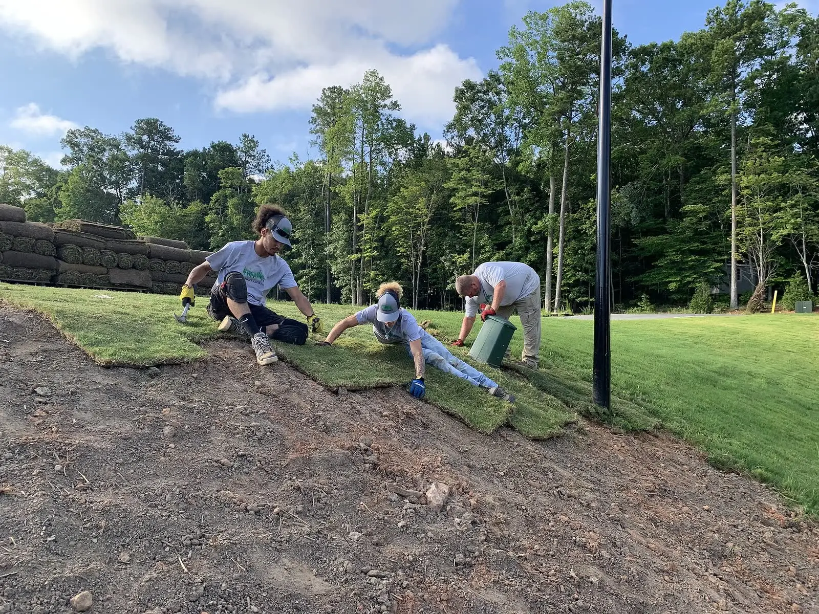
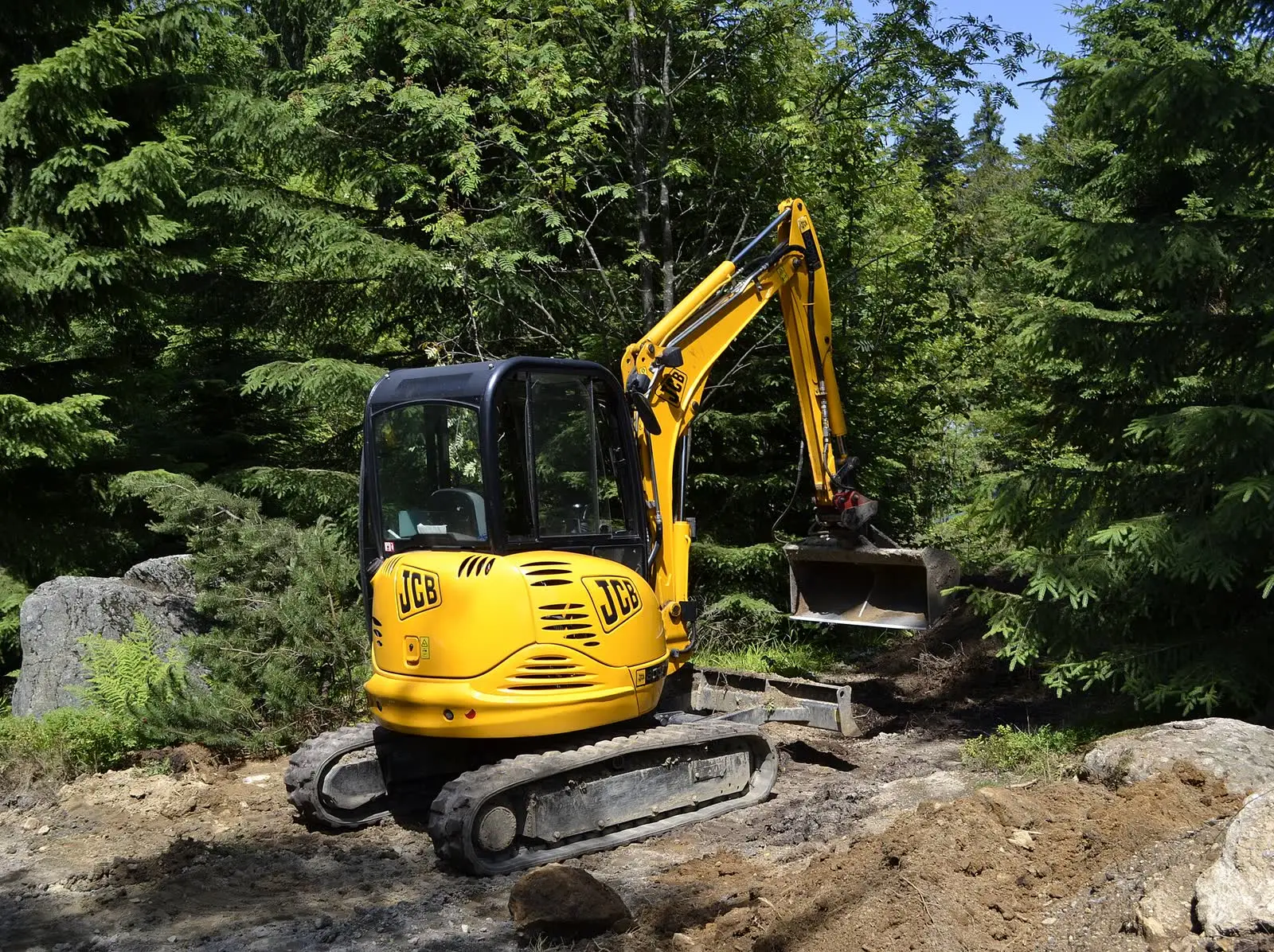
The jobs the app estimates: sod and bed preparation, grading and excavation, stump and tree work, hauling and cleanup. Photos: Distinct Lawns, Wikimedia Commons, CC BY-SA 4.0; High Contrast, Wikimedia Commons, CC BY 3.0 DE. Shown for illustration; not from the project.


How the App Works
The operator opens the app at the site, scans the work area with an iPhone Pro or iPad Pro, and walks through three steps that mirror how an experienced estimator thinks.
- Scan and measure. The LiDAR scan becomes a 3D model of the area. The operator marks what the job is on the model, by tracing a bed, outlining a stump, or marking the limits of a grading area, and the app measures the quantity that drives that task: area, volume, length, height, slope and distance.
- Answer the guided questions. For each task the app asks only what a scan cannot tell it: species and condition for a stump, mulch depth and edging for a bed, finished grade for an excavation, how clean the customer wants the site left.
- Record the site. Access and gate width, distance from the truck, slope and ground conditions, nearby structures, and utilities, with photos attached as a record of the site before work starts.
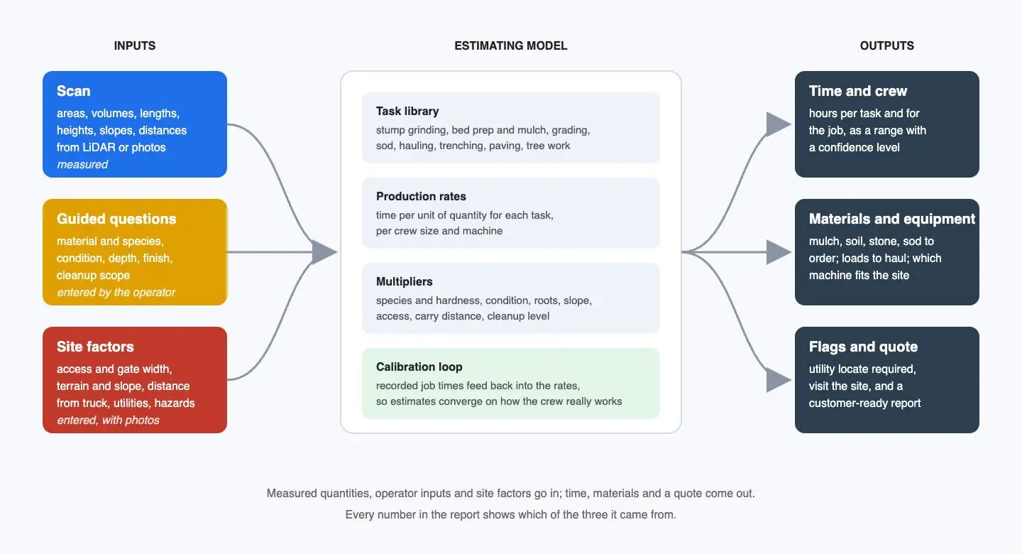
Illustration: inputs, the estimating model, and what comes out
From those inputs an estimating model produces hours per task and for the job, as a range with a confidence level, the materials to order and loads to haul, which equipment fits the site, and a customer-ready report. Every figure in the report shows whether it was measured, entered, or flagged as unknown, which is what lets an operator trust it.
Measuring the Work: A Stump as the Hard Case
Most task quantities are straightforward once there is a scaled 3D model: the area of a bed, the length of an edge, the cut and fill between the current ground and a target grade. The case that proves the measurement engine is a tree stump, because stumps are not cylinders. They flare and lobe at the base, which is exactly where a diameter-and-formula estimate goes wrong, and the amount of wood above ground is the first driver of grinding time.
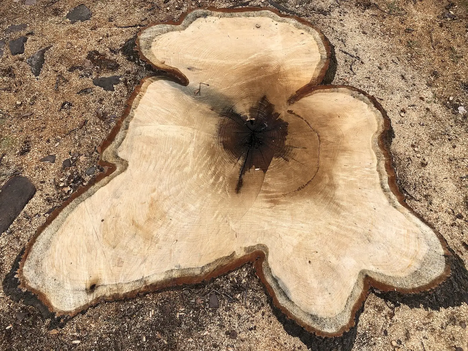
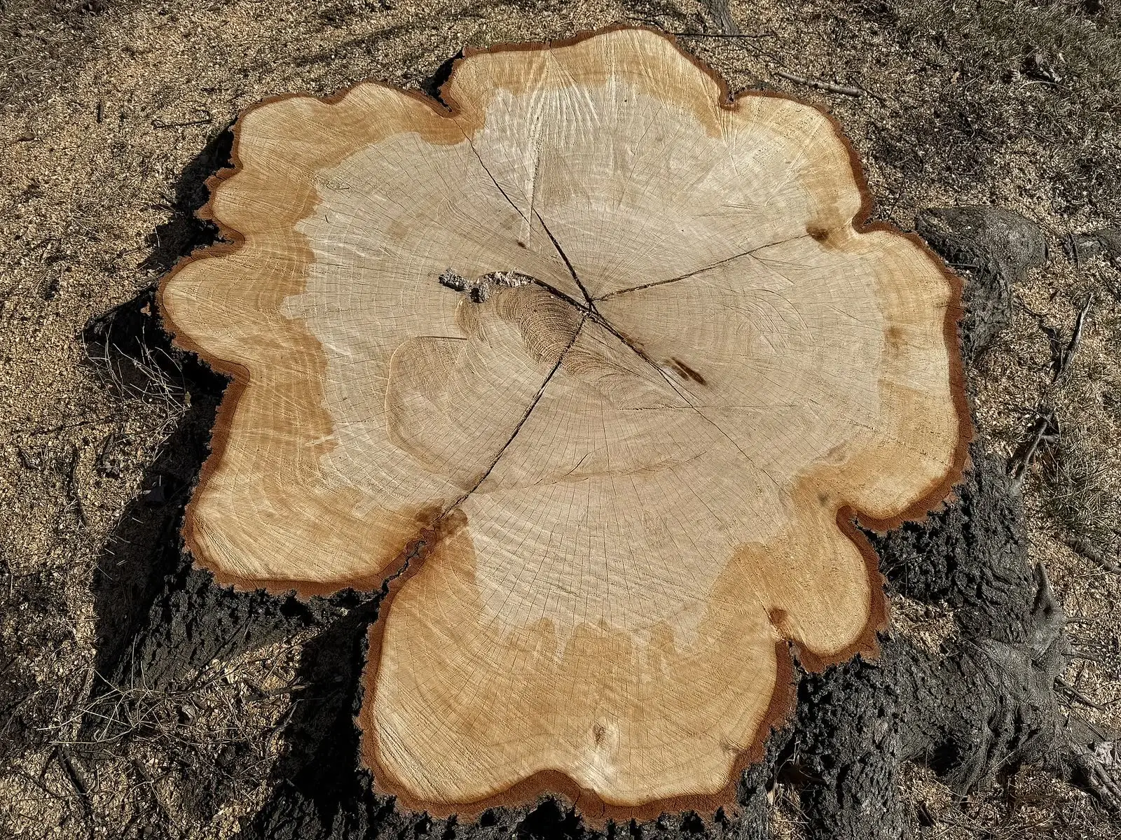
Two oak stumps and the shapes a tape measure cannot describe. Photos: Famartin, Wikimedia Commons (red oak, pin oak), CC BY-SA 4.0. Shown for illustration; not from the project.


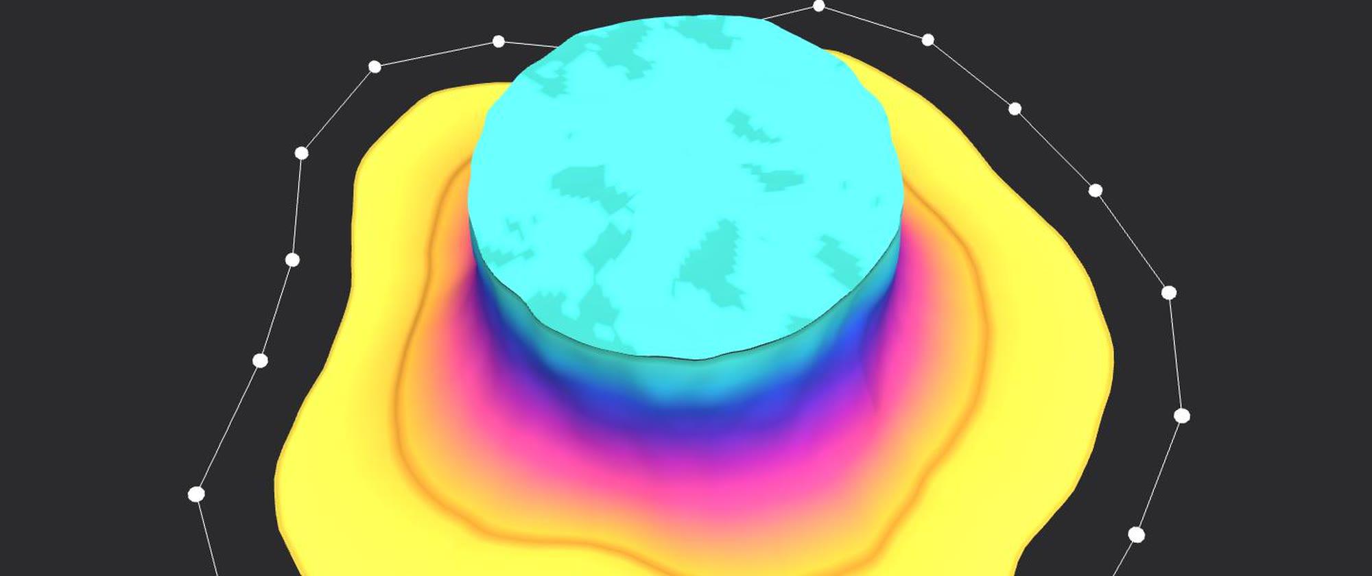
The app uses the same polygon method as the stockpile tool: fit a base plane to the ground, trace the base of the object on the scan, and integrate the mesh above the plane. The result is volume, base area, height and width, with a height map the operator can check against what they see.
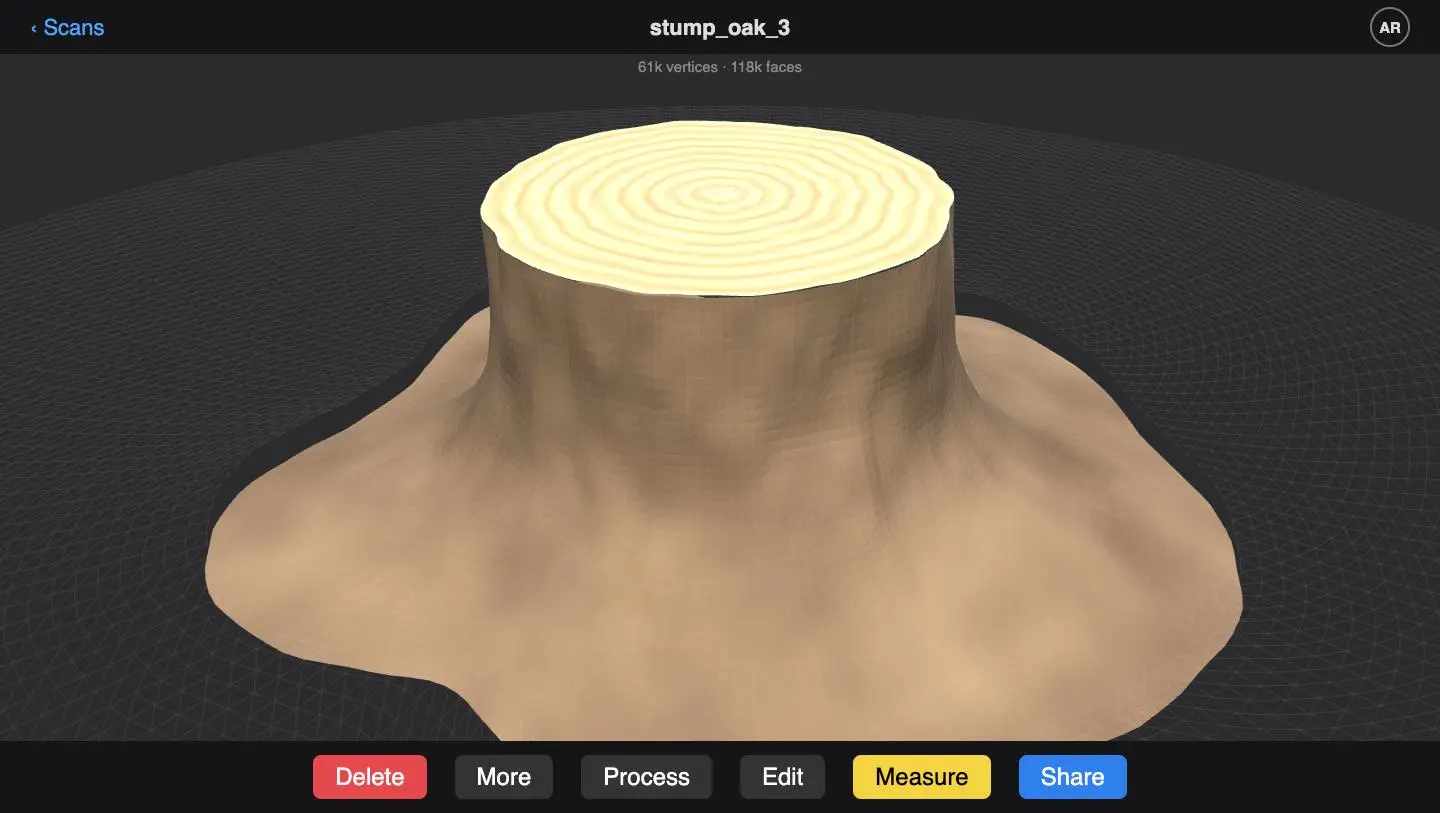
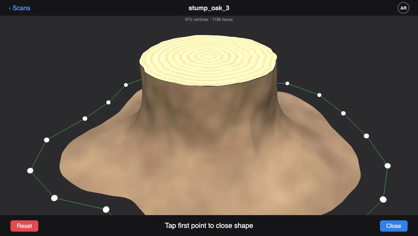
Illustration: the stump as a LiDAR mesh, and the outline tapped around its base
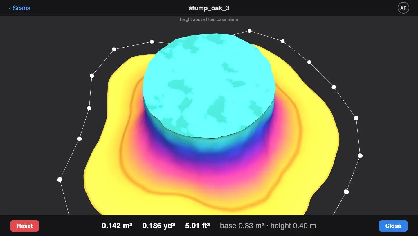
Illustration: height above the base plane, and the volume reported in cubic meters, cubic yards and cubic feet
iPhone LiDAR captures depth to roughly one to two centimeters at close range, which is ample for objects and areas of this size. The practical conditions matter more than the sensor: the object has to be clear of vines, tall grass and leaf litter, and the operator has to capture all the way around it. The app checks coverage before it accepts a measurement, and tells the operator to clear or rescan when it is not complete.
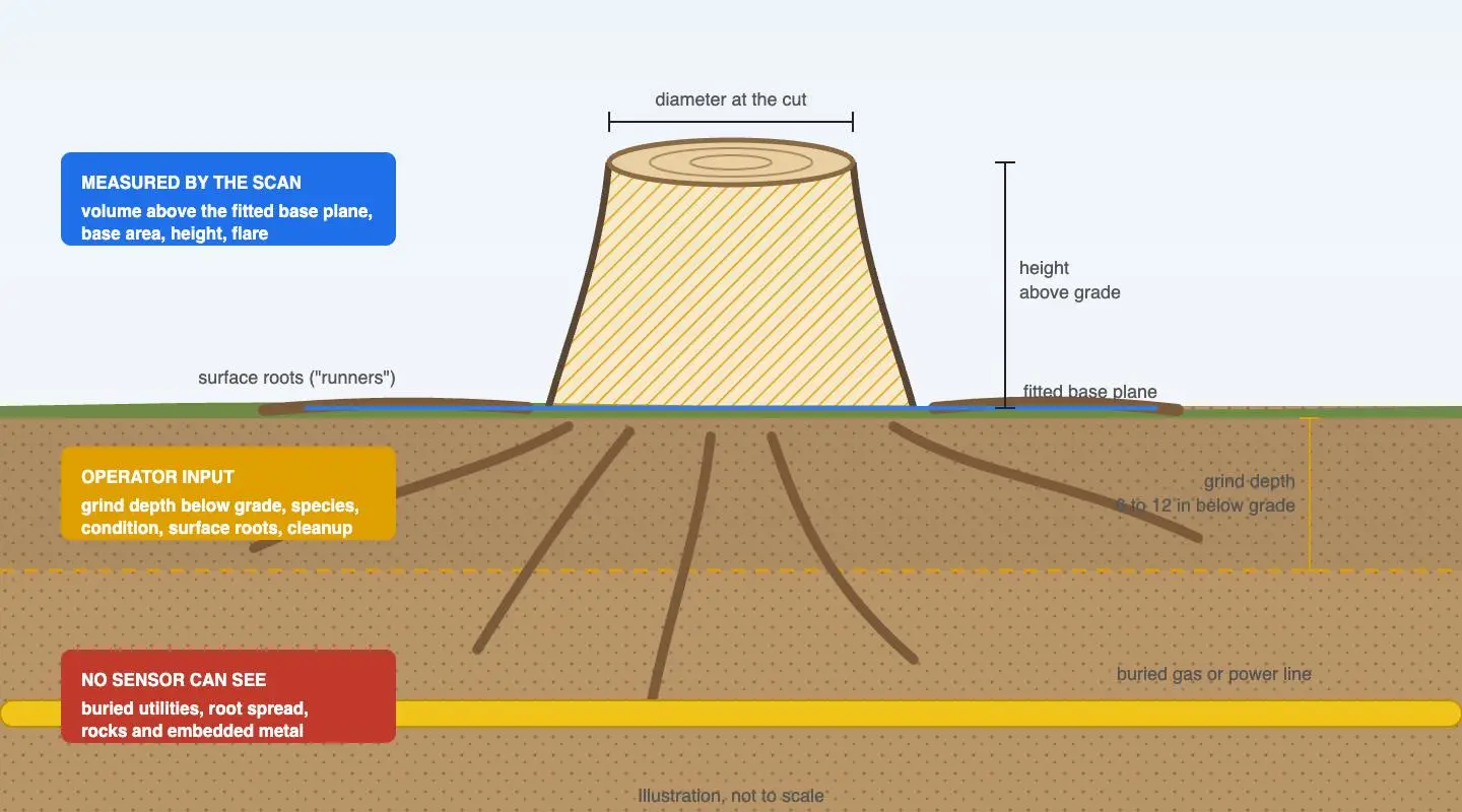
Illustration: what the scan measures, what the operator enters, and what no sensor can see, for one task type
What a Scan Cannot See
The largest cost and safety factors in outdoor work are invisible in any scan. The app handles them by asking, and by refusing to pretend otherwise.
| Factor | Why it matters | How the app handles it |
|---|---|---|
| Species and wood hardness | Oak, hickory and locust take far longer to grind than pine or spruce | Chosen from a regional list with reference images; AI suggestions planned once labelled scans accumulate |
| Condition | Green, dried and rotted wood behave differently; rotted stumps are fast but unpredictable | Three clear options |
| Roots and what is below grade | Chasing roots can be half a stump job; grind depth below the surface is a choice, not a measurement | A root rating as a time multiplier; depth entered from what the customer wants afterwards |
| Access | A standard 36-inch gate decides which machine fits; steps, slopes and a long carry add time | An access rating with photos, and a flag to visit the site when it is tight |
| Terrain | Slopes are a tipping risk, mud bogs equipment, rocks eat cutter teeth | Structured inputs for soil, moisture and slope |
| Utilities | Buried gas and power lines are the biggest liability in the trade, and are rarely at the depth records say | A utility locate is a required step; the quote cannot be sent without it |
| Embedded metal and hidden obstacles | Bolts, wire and old fencing grown into wood damage equipment and injure people | A mandatory check in the guided workflow |
| Cleanup and finish | "Just want to mow over it" and "chase every root and re-sod" are different jobs | The customer's intended use of the space sets depth, finish and cleanup scope |
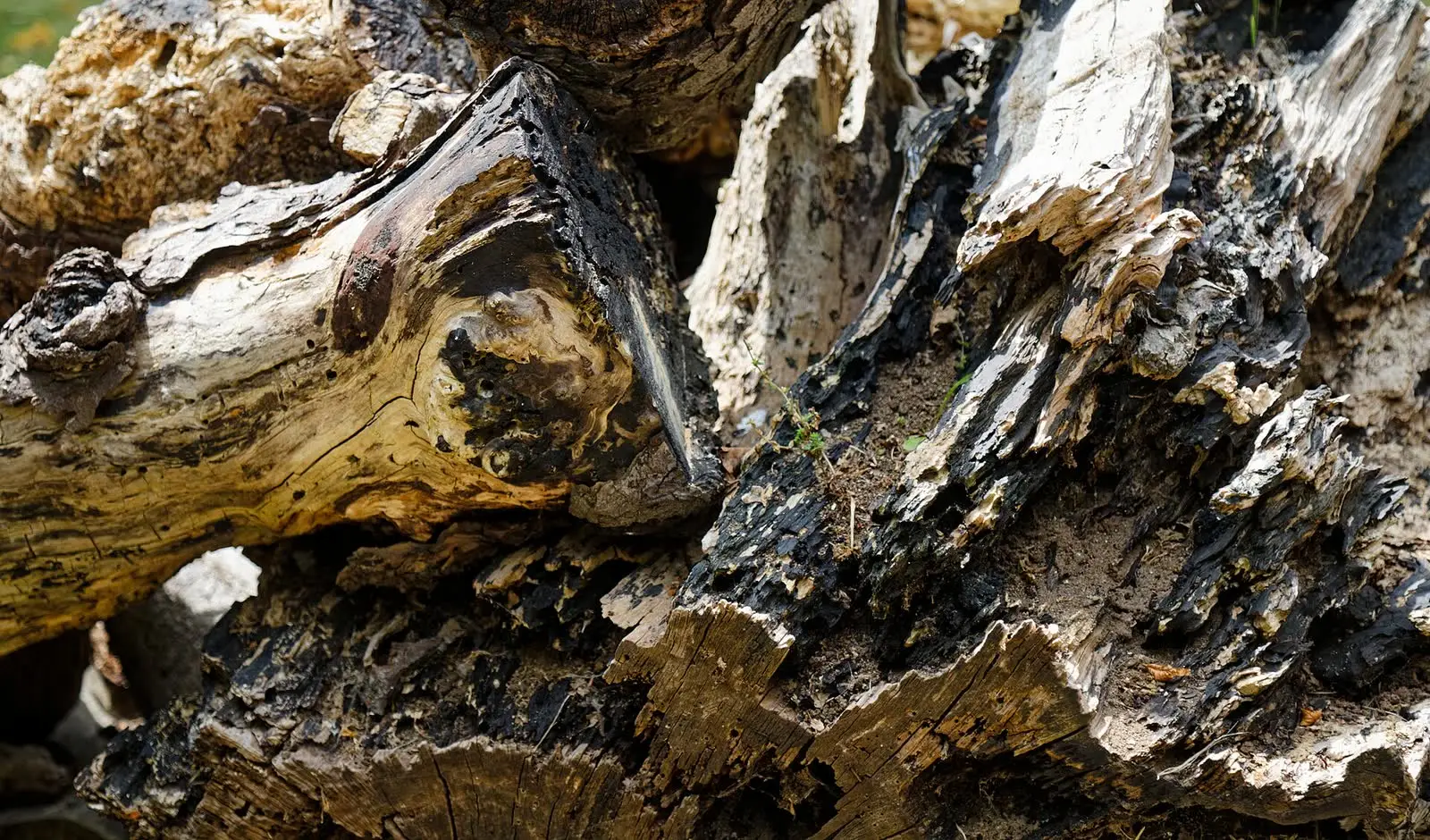

Condition and hidden obstacles change a job more than its size does. Photos: Acabashi, Wikimedia Commons, CC BY-SA 4.0; Adrian Pingstone, Wikimedia Commons, public domain. Shown for illustration; not from the project.


The Estimate
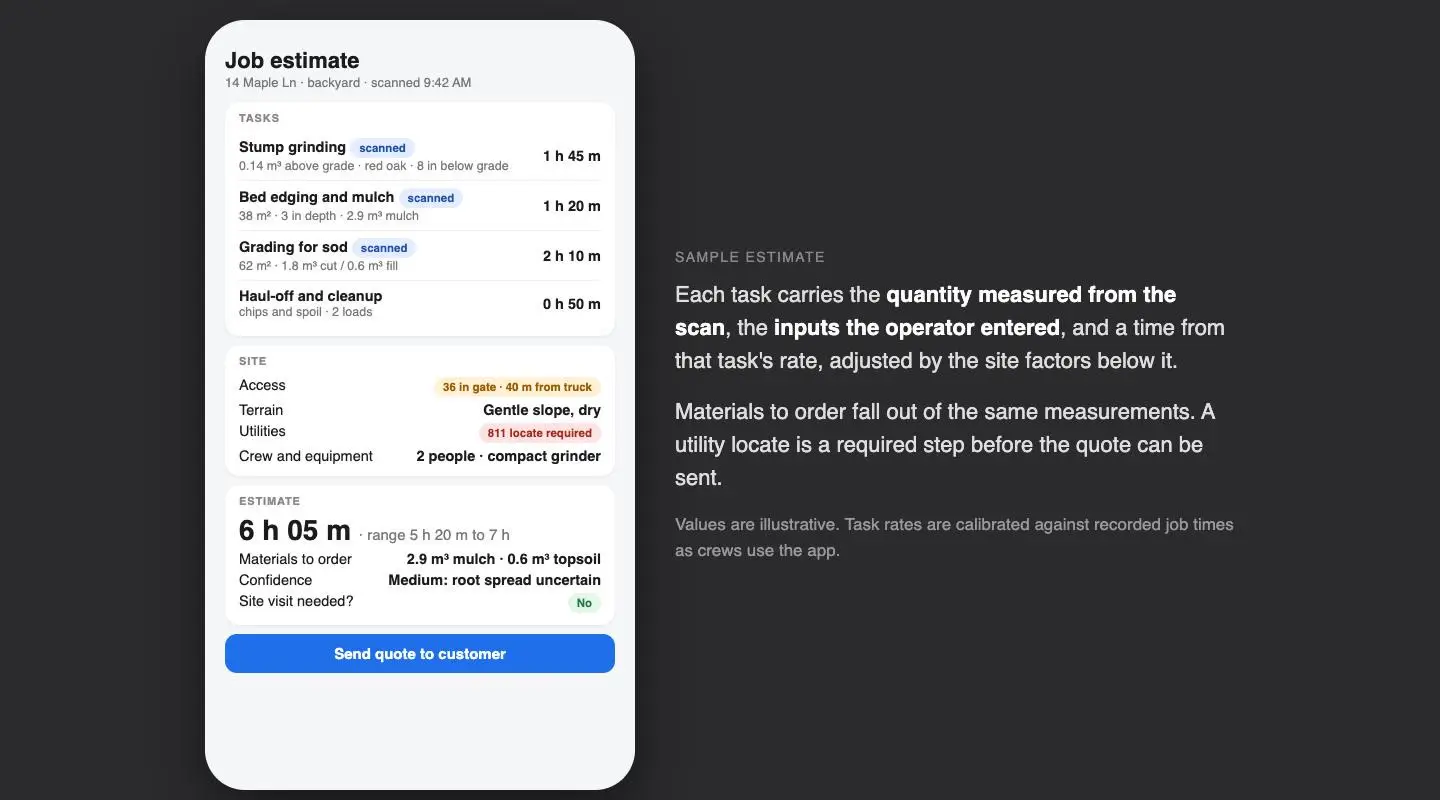
Illustration: a sample estimate. Values are illustrative; the point is that measured, entered and unknown are kept visibly separate
The estimating model is deliberately simple to explain, because operators will not trust what they cannot follow. Each task type has a production rate, time per unit of quantity for a given crew and machine. Multipliers for species, condition, roots, slope, access, carry distance and cleanup level adjust it. The result is a time range rather than a single number, with a confidence level that drops when an important input is uncertain, and flags for when the operator should still go and look before quoting.
Two things learned from the people who do this work shaped the model more than any technical result. Operators value consistency over precision: an estimate that is always a little low can be corrected with experience, one that is random cannot be trusted at all. And they will not trust a tool until it has proven itself against their own judgement on real jobs. So the app records actual job times against its estimates, and the rates are calibrated from that data as crews use it. The tool earns trust the way a new estimator does, by being checked.
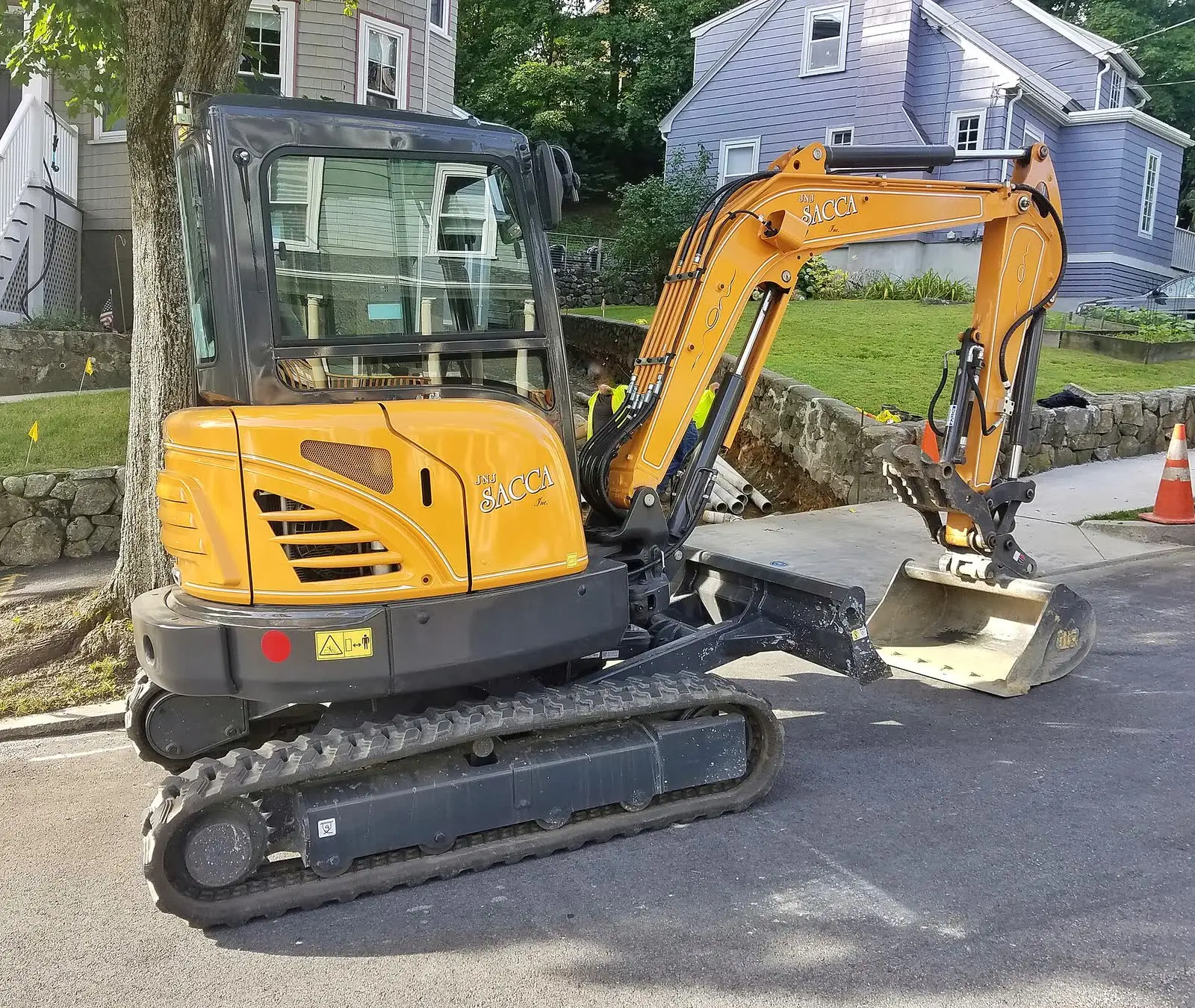
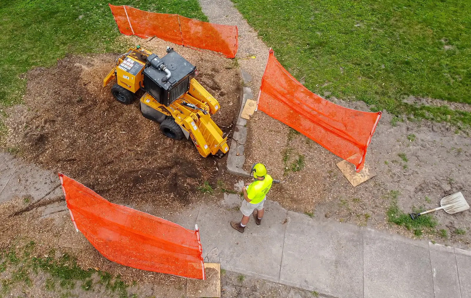
Equipment selection, debris containment and cleanup are part of the estimate, not an afterthought. Photos: Daderot, Wikimedia Commons, CC0; Wikideas1, Wikimedia Commons, CC0. Shown for illustration; not from the project.


Built for the Job Site
- Works offline. Job sites often have no signal. Scanning, measurement, the guided questions and the estimate all run on the device; reports queue for sync when connectivity returns.
- Scan quality is checked at capture. Coverage and tracking are verified before a measurement is accepted, so a bad scan is caught on site rather than discovered at the kitchen table.
- Photos are evidence. Site photos attached to the estimate document the conditions before work started, which settles later disputes about cracked driveways and lawns.
- The report is for the customer. Scope, quantities, assumptions and what is excluded, in plain language, shareable from the phone.
- Every number shows its source. Measured, entered or unknown, on every screen and in the report.
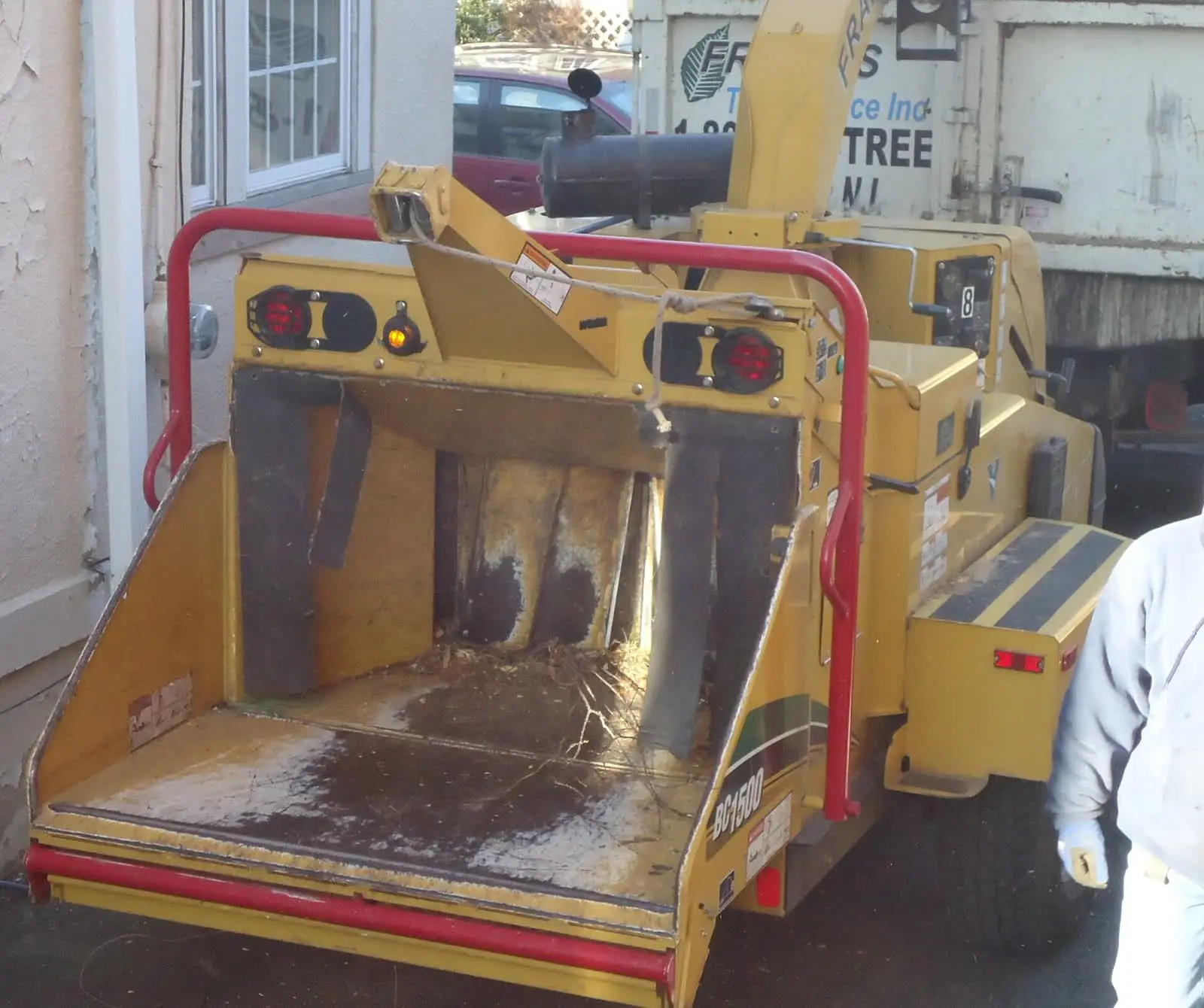
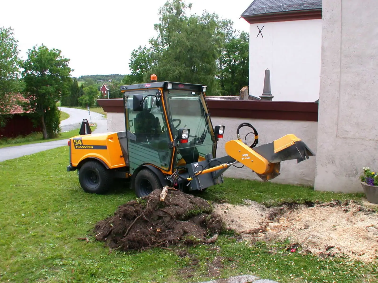
Tree crews and contractors quoting from the driveway are the app's first users. Photos: Tomwsulcer, Wikimedia Commons, CC0; Riggwelter, Wikimedia Commons, CC BY-SA 3.0. Shown for illustration; not from the project.


What Comes Next
The app was designed so that each stage generates the data the next one needs:
- AI suggestions for species and condition from the scan and photos, trained on the scans that operators label in the app, with the same approach Laan Labs uses for custom computer vision models. The operator keeps the final say.
- Phones without LiDAR. A photo-based path with a reference marker of known size and photogrammetry in the cloud, at lower precision, for Android and non-Pro iPhones.
- Planning and scheduling. Estimated hours, crew and equipment feeding a day plan, with route and access information so the right machine goes on the right truck.
- More task types. The same framework of scan, guided questions and calibrated rates applied to the rest of a landscaper's and contractor's work, from fencing and drainage to tree removal.
Business Value
For the operators, the app replaces a tape measure and a guess with a measurement and a method, produces a professional quote on site, and gets more consistent with every job recorded. For a company that serves those operators, whether an equipment maker, a materials supplier or a software platform, it is a reason for its customers to open its app on every job, and a stream of real-world job data to build on.
Laan Labs offers the app and its estimating framework to partners as a branded application or as licensed components inside an existing product. See 3D capture and technology licensing, capture pipelines for field work, or contact us to talk about a project.
Technologies Utilized
iPhone and iPad LiDAR, ARKit, Mesh reconstruction, Base-plane fitting, Polygon area and volume measurement, Cut-and-fill calculation, Guided capture, Offline-first sync, Estimating model with calibrated production rates, PDF reporting, Core ML (planned), Photogrammetry with reference markers (planned)
Download this article
Get the markdown source for offline reading