Insurance & Property Claims
Scan a property once, then estimate, adjust and document from the record: pre-policy surveys, loss documentation and remote claims review.
Laan Labs builds 3D capture and documentation software for insurance carriers, independent adjusters, third-party administrators and restoration contractors. A policyholder, adjuster or contractor scans a property with a phone; the result is a measured floor plan, a 3D record of condition and contents, and the affected areas outlined and quantified, ready for underwriting, scoping and estimating. Laan Labs built a custom scanning solution for an insurance company that is used in both policy estimation and claims.
Claims are slowed by the same things everywhere: repeat site visits, measurements taken by tape and sketched by hand, hundreds of loose photographs with no context, and disputes over what was there before the loss. A scan addresses all four. The room is measured automatically, every photograph has a place in the 3D record, a desk adjuster can review a loss without travelling, and a pre-loss capture settles what the property looked like.
Subscription tools for claims documentation exist and suit many teams. Carriers and larger contractors come to Laan Labs when they want capture inside their own app and workflow, under their own brand, connected to their own claims and estimating systems, and with policyholder data kept where they decide.
How Laan Labs helps
- Pre-policy and underwriting surveys
- A scan by the policyholder or an agent that records the dimensions, layout, condition and contents of a property before cover is written, improving the estimate and establishing a baseline.
- Loss documentation
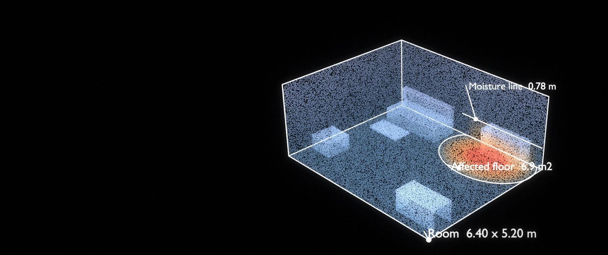
- A capture of the loss in minutes, with the affected floor, walls and ceilings outlined and measured, moisture lines and damage heights recorded, and every photograph anchored to where it was taken.
- Floor plans and sketches
- Rooms, openings and dimensions extracted automatically from an iPhone or iPad LiDAR scan and delivered as a clean plan for scoping and estimating, in place of a tape measure and a hand sketch.
- Remote review and desk adjusting
- A 3D record that an adjuster, contractor, engineer or reinsurer opens in a browser to look around and take measurements nobody thought to take on site, cutting repeat visits and travel.
- AI-assisted triage and scoping
- Models that classify the type and extent of damage, flag what needs a specialist, and draft the description for an adjuster to confirm, so reviewers spend their time on judgment rather than transcription.
- Policyholder self-service
- Guided capture inside the carrier's own app, written for someone who has never scanned anything, with coverage checks before they finish so the claim does not stall waiting for a second attempt.
- Vehicles and contents
- The same capture applied to damaged vehicles and to contents inventories, where a 3D record is faster to make and harder to dispute than a list and a camera roll.
Where to start
Most insurance projects start with one line of business and one moment in the claim, such as interior water losses at first notice, or pre-policy surveys for a single product. Laan Labs builds a pilot for that case in weeks and runs it alongside the existing process on live claims, so cycle time, re-inspection rate and estimate accuracy can be compared before anything is rolled out.
The pilot can be delivered as a white-label app and review portal, as components inside an existing carrier or contractor app, or on RadianceView. See 3D capture pipelines for inspection and documentation for how the pipeline is built.
Related work
3D Scanner Integration
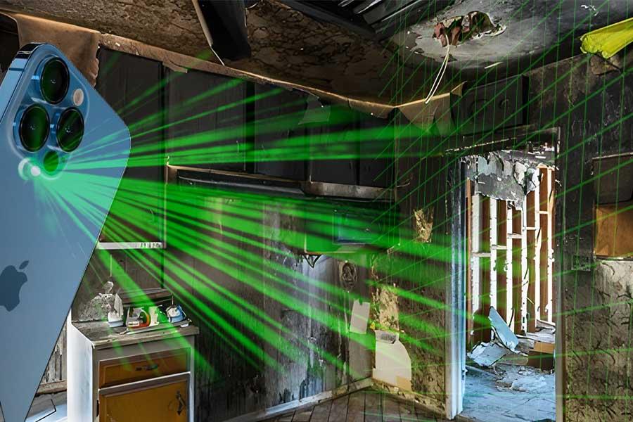
How Licensing 3D Scanner App Revolutionized An Insurance Company's Workflow
Mobile LiDAR Workflows
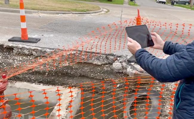
How professionals are incorporating mobile LiDAR Scanning into their operations
Industrial Measurement
Reducing the hassle of managing spaces using Computer Vision
Real Estate & 3D Scanning
How Mobile 3D LiDAR is changing how the industry works.
3D Room Scanning
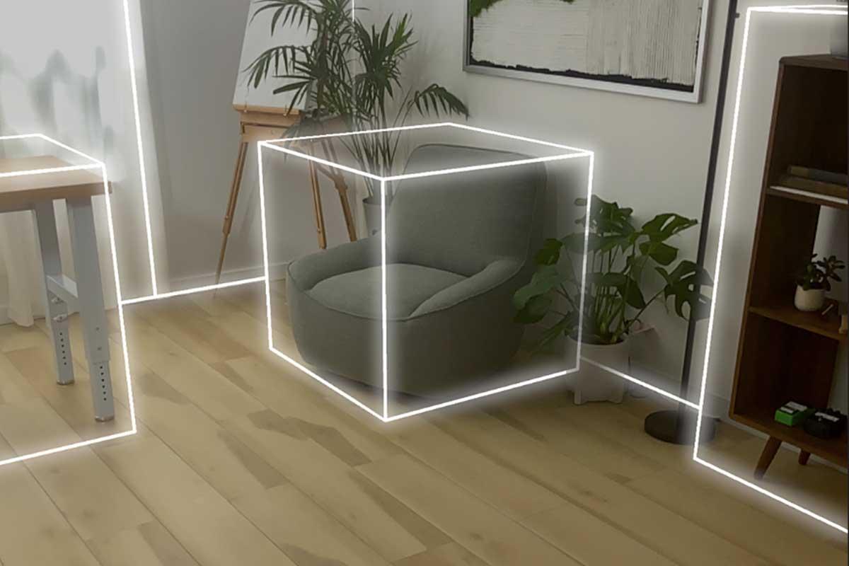
Scanning Spaces, with a focus on geometry and inventory.
Laan Labs products in this field
- RadianceView — Inspection-grade visual records in a browser
- OpenPlan3D — Open-source floor plans from iPhone LiDAR scans
Common questions
Can a policyholder scan their own property?
Yes. With guided capture on a recent iPhone or iPad, a policyholder can produce a usable scan of a room in a few minutes. Laan Labs designs the capture flow for first-time users, checks coverage before the scan is submitted, and falls back to photographs and video on devices without LiDAR.
How do scan measurements compare with measuring by hand?
For room dimensions, areas and damage extents, iPhone and iPad LiDAR is accurate to roughly the centimeter under good conditions, which is comparable to careful manual measurement and far more complete, since the whole space is recorded rather than the few dimensions someone chose to take. Each measurement is reported with its expected accuracy.
Does it work with our claims and estimating systems?
Laan Labs integrates capture with the claims, policy administration and estimating systems a carrier or contractor already uses, so a scan is requested from the claim file and its plan, measurements and report are returned to it. The integration is built for each client rather than limited to a fixed list of connectors.
How is policyholder data protected?
Scans of homes are personal data. Pipelines are built with access controlled per claim, encryption in transit and at rest, retention rules set by the carrier, and the option to process captures on the carrier's own infrastructure rather than a shared cloud.
Start a conversation
Tell us about the project and one of the founders will reply. Email labs@laan.com or use the contact form.
Services for this industry: Capture Pipelines & Inspection, 3D Capture & Licensing, Computer Vision & AI
Other industries: Real Estate, Medical & Body Scanning, Robotics & Automation, Utilities & Infrastructure, Aerospace & MRO, Construction & AEC