Construction & AEC
As-built capture, scan-to-CAD, progress records and facility digital twins from a phone, for builders, architects, engineers and facility owners.
Laan Labs builds 3D capture software for contractors, architects, engineers and facility owners. A walk through a building with a phone produces an as-built scan, an editable floor plan, dimensions that can be taken later, and a photorealistic walkthrough to share, without a laser scanner or a survey crew. Laan Labs created one of the first LiDAR scanning apps for iPhone and has built space measurement systems for industrial clients. For listings, floor plans and virtual staging, see real estate.
Projects run on knowing what is actually there. Drawings are out of date, a site visit answers the one question that was asked and not the next one, and a terrestrial laser scan is accurate but too slow and expensive to repeat every week. Phone-based capture fills the gap between a photograph and a survey: fast enough to do routinely, complete enough to measure from afterwards, and good enough for layout, quantities, coordination and records.
The same capture serves the whole life of a building: existing conditions before design, progress during construction, a handover record at completion, and a digital twin of the facility for the people who operate it.
How Laan Labs helps
- As-built capture and scan-to-CAD
- LiDAR and photo scans converted into structured geometry: walls, openings and rooms as editable floor plans and DXF, and equipment as solid models, so designers start from current conditions.
- Floor plans in minutes
- Automatic plans from iPhone and iPad scans with dimensions and areas, exported as PNG, PDF, SVG or DXF, as in Laan Labs' open-source OpenPlan3D.
- Progress and condition documentation
- Repeat captures of the same spaces aligned to each other, giving a dated visual record of what was built, when, and in what state, for coordination, payment and disputes.
- Facility digital twins
- A navigable 3D record of a plant, warehouse or building that combines scans, Gaussian splats and photographs, in which teams locate equipment, plan changes and take measurements without a site visit.
- Photorealistic walkthroughs
- Gaussian splat captures of interiors and exteriors that reproduce how the place looks from the areas that were photographed, for briefing a remote team, reviewing a site with a client or recording a handover.
- AR visualization
- Proposed designs shown in place at full scale on a phone, tablet or headset, such as planning a kitchen in the customer's own room.
- Measurement and space management
- Dimensions, areas, volumes and clearances taken from the capture rather than on site, for layout, storage planning and logistics.
Where to start
A sensible first step is one building and one use, such as existing-conditions capture for a renovation or a record of a facility's plant rooms. Laan Labs sets up the capture and delivery workflow, compares the results with known dimensions, and agrees with the client where phone capture is sufficient and where survey-grade scanning is still needed.
The workflow can then be delivered as a branded app, licensed as components for an existing product, or extended with georeferencing and inspection features. See 3D capture and technology licensing and 3D capture pipelines.
Related work
Industrial Measurement
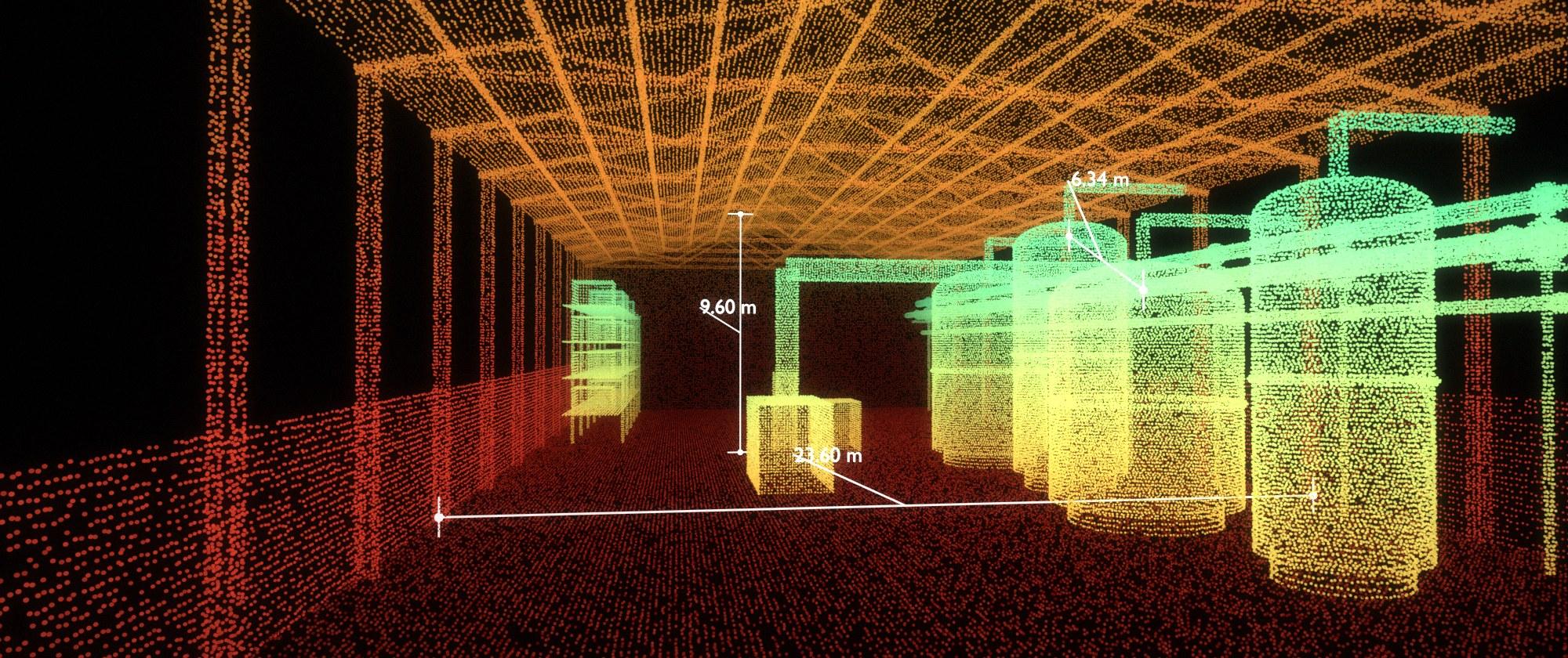
Reducing the hassle of managing spaces using Computer Vision
Virtual Kitchen Planner
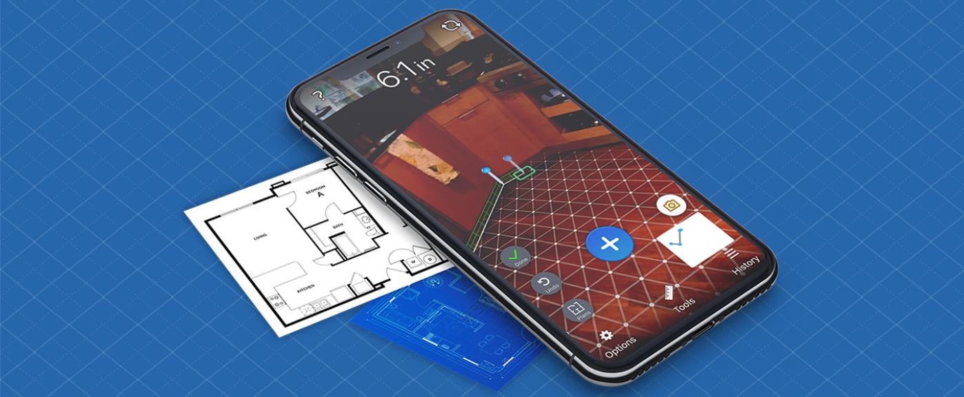
Plan and visualize your future kitchen in AR
Mobile LiDAR Workflows
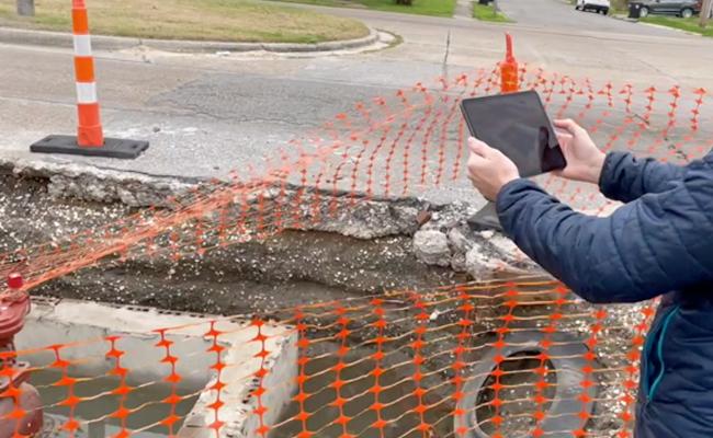
How professionals are incorporating mobile LiDAR Scanning into their operations

InfraTech 3D Scanning
Workflow overview of how mobile phones are used to capture and create various 3D representations such as NeRF's and Gaussian Splats for managing InfraTech Assets.
Real Estate & 3D Scanning
How Mobile 3D LiDAR is changing how the industry works.
3D Room Scanning
Scanning Spaces, with a focus on geometry and inventory.
Laan Labs products in this field
- OpenPlan3D — Open-source floor plan editor with iPhone LiDAR scanning
- 3D Splat App — Photorealistic Gaussian splat captures on Mac
- OpenShape3D — Open-source solid-modeling CAD for iPad
Common questions
Can a phone scan replace a terrestrial laser scanner?
For many tasks, yes: existing-conditions capture for interiors, floor plans, quantities, progress records and visualization. A phone scan is accurate to roughly the centimeter at room scale and takes minutes. A terrestrial scanner is still the right tool where millimeter accuracy over long distances is contractual, such as steel fabrication or control surveys. Laan Labs builds workflows that use each where it fits.
Can a scan be turned into a CAD or BIM model?
Room scans convert automatically to floor plans with walls, doors and windows as editable geometry that exports to DXF. For more detailed models, Laan Labs combines geometric fitting with AI that recognizes building elements and equipment and proposes the corresponding CAD geometry for a designer to review, which is much faster than modeling from a point cloud by hand.
What formats are delivered?
Floor plans as DXF, PDF, SVG and PNG; meshes and point clouds as OBJ, USDZ, glTF, PLY and LAS; Gaussian splats as PLY, SPZ and SOG; and a browser link for people who only need to look and measure.
Do clients and site teams need special software to view a capture?
No. Captures are delivered as a link that opens in a web browser on a computer, tablet or phone, where anyone with access can look around and take measurements. Native viewers for iPhone, iPad, Mac and headsets are available when a project calls for them.
Start a conversation
Tell us about the project and one of the founders will reply. Email labs@laan.com or use the contact form.
Services for this industry: Capture Pipelines & Inspection, 3D Capture & Licensing, Gaussian Splatting, Spatial Computing, AR & VR
Other industries: Insurance & Claims, Real Estate, Medical & Body Scanning, Robotics & Automation, Utilities & Infrastructure, Aerospace & MRO